
Drone Surveys
Drone Surveys
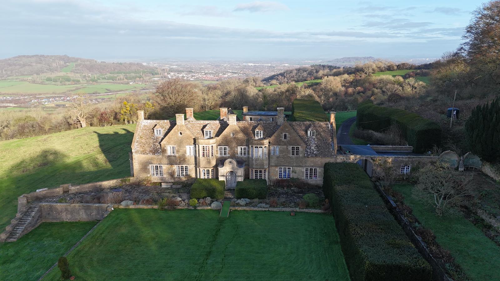
Drone surveys for roofs, sites and construction projects using high-resolution aerial imagery.
Drone surveys for roofs, sites and construction projects using high-resolution aerial imagery.
Professional drone surveys
Professional drone surveys
At Barron’s Building Services we offer professional drone survey services to support building, extension and landscaping projects across Gloucestershire and Oxfordshire. Using high-resolution aerial imagery and site data capture, our drone surveys provide accurate visual insight for planning, condition assessment and progress monitoring without the need for scaffolding or intrusive access.
Whether you’re an architect, designer, site manager or private client, drone surveys help reduce risk, improve decision-making and provide a clearer overview of complex sites.
At Barron’s Building Services we offer professional drone survey services to support building, extension and landscaping projects across Gloucestershire and Oxfordshire. Using high-resolution aerial imagery and site data capture, our drone surveys provide accurate visual insight for planning, condition assessment and progress monitoring without the need for scaffolding or intrusive access.
Whether you’re an architect, designer, site manager or private client, drone surveys help reduce risk, improve decision-making and provide a clearer overview of complex sites.
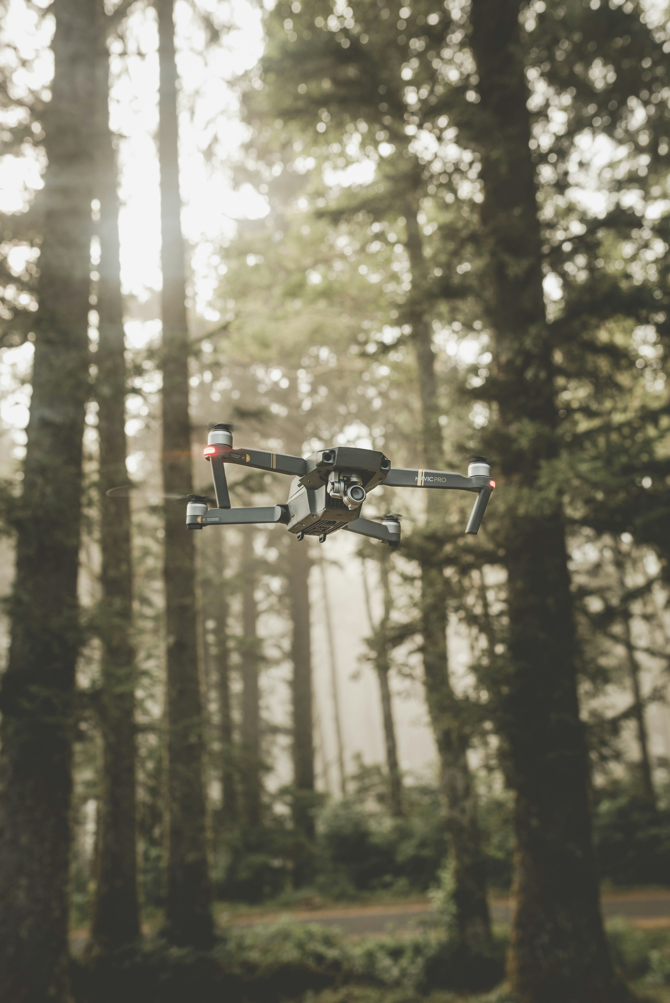
Why choose our drone surveys?
Comprehensive Aerial Insight
Our drone surveys capture precise overhead and elevation views, offering a complete picture of your site, roof or landscape from angles that traditional surveying can’t easily reach.
Accurate Site Mapping
We generate detailed aerial imagery that supports planning applications, site feasibility, and design coordination, helping you visualise challenges and opportunities early in the project.
Safe and Efficient
Drone technology removes the need for expensive access equipment or time-consuming manual inspection, allowing us to survey large or difficult-to-reach areas safely and quickly.
Supports multiple project types
Drone surveys are invaluable for building assessments, roof inspections, landscape analysis and ongoing progress tracking, whether the site is residential, rural or a complex estate.
Comprehensive Aerial Insight
Our drone surveys capture precise overhead and elevation views, offering a complete picture of your site, roof or landscape from angles that traditional surveying can’t easily reach.
Safe and Efficient
Drone technology removes the need for expensive access equipment or time-consuming manual inspection, allowing us to survey large or difficult-to-reach areas safely and quickly.
Accurate Site Mapping
We generate detailed aerial imagery that supports planning applications, site feasibility, and design coordination, helping you visualise challenges and opportunities early in the project.
Supports multiple project types
Drone surveys are invaluable for building assessments, roof inspections, landscape analysis and ongoing progress tracking, whether the site is residential, rural or a complex estate.
Let's bring your project to life
Let's bring your project to life
Let's bring your project to life
For any inquiries or to explore your vision further, we invite you to contact our professional team using the details provided below.
For any inquiries or to explore your vision further, we invite you to contact our professional team using the details provided below.
For any inquiries or to explore your vision further, we invite you to contact our professional team using the details provided below.